FROM REAL-WORLD DATA TO SIMULATION
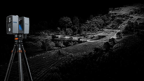
01 — DATA ACQUISITION
LiDAR, laser scanning, topographic data and photogrammetry provide a measurable geometric foundation for the digital environment.
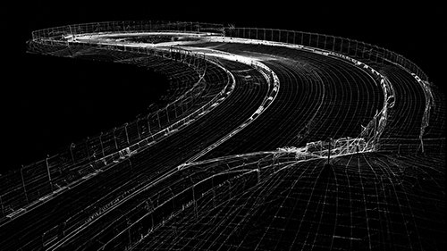
02 — DIGITAL RECONSTRUCTION
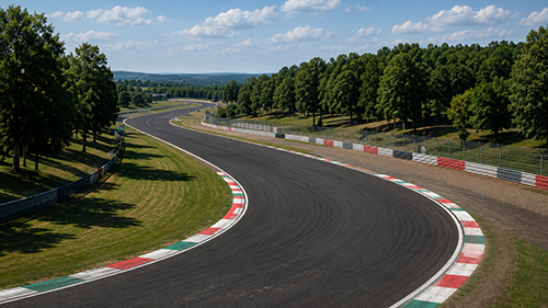
Track geometry, elevation, cambers, gradients, kerbs and surrounding reference points are reconstructed from the available measured data.
03 — SIMULATION INTEGRATION
Geometry is processed and optimized for the target simulation platform, maintaining the most relevant characteristics within real-time engine constraints.