FROM REAL-WORLD DATA TO SIMULATION
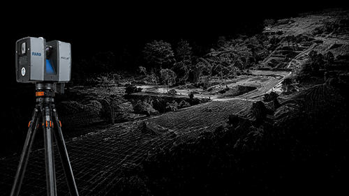
01 — DATA ACQUISITION
LiDAR, laser scanning, topographic data and photogrammetry provide a measurable geometric foundation for the digital environment.
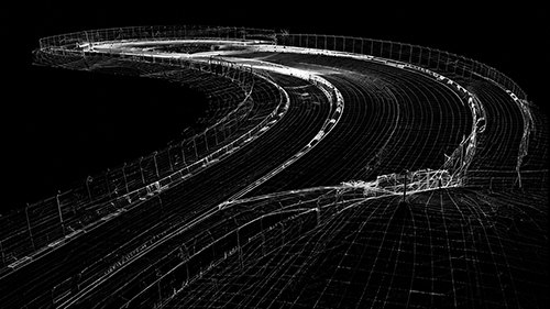
02 — DIGITAL RECONSTRUCTION
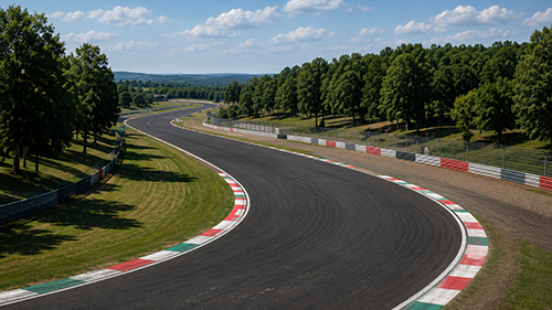
Track geometry, elevation, cambers, gradients, kerbs and surrounding reference points are reconstructed from the available measured data.
03 — SIMULATION INTEGRATION
Geometry is processed and optimized for the target simulation platform, maintaining the most relevant characteristics within real-time engine constraints.
GEOMETRY THAT MATTERS
For professional simulation, accuracy is not simply a matter of visual detail.
Elevation changes, cambers, gradients, track width,
kerbs and surface transitions directly influence
how a driver reads and experiences a circuit.
The objective is not to preserve every LiDAR point.
It is to preserve the geometrical information
that matters for the intended simulation.
OUR WORKFLOW

01 – MEASURE
LiDAR, LaserScan, topographic and photographic references.

02 – PROCESS
Point-cloud cleaning, alignment and data preparation.

03 – RECONSTRUCT
Track surface and relevant surrounding geometry.

04 – OPTIMIZE
Polygon density, physical surface and visual geometry adapted to real-time constraints.

05 – INTEGRATE
Materials, timing systems, track elements and simulation-specific requirements.